
Ideas for TRAILS on construction sites
Using location and video records for safer tunnel construction
In tunnel construction, excavation at the face and concrete lining further back often run at the same time, while dump trucks and mixer trucks move through a narrow space. Keeping a safe distance by sight alone is hard, and GPS doesn't reach underground. Adding beacons or other equipment every time the tunnel advances is also a burden. And a record of location alone doesn't tell you what was actually happening there.
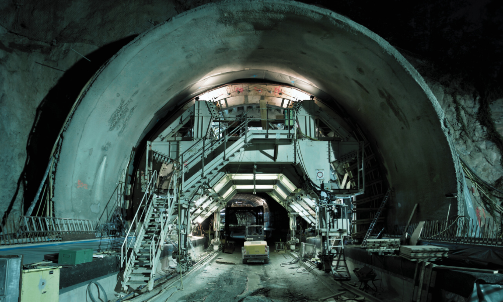
Common challenges on site:
- Keeping clear of heavy machinery: In a narrow tunnel, it is hard to keep a safe distance between workers and vehicles by sight alone. After a near miss, it is hard to look back at what the situation actually was.
- Vehicle waiting time: It's hard to see where vehicles wait during each excavation cycle, for how long, and why.
- Records and reports: Recording who did what work, where and when, and sorting out daily reports and photos, takes a lot of time.
Ideas for TRAILS × the Astra spatial AI camera
TRAILS needs no installed equipment. Pair it with Astra, a wearable spatial AI camera, and you can record each worker's location and first-person video at the same time, even inside a tunnel. Because you keep not just where they went but also what they saw there, it could be used in ways like these.
Use route records to find the places and times where workers tend to come close to vehicle lanes. The video from those moments shows the real conditions, such as the distance to the machinery, visibility and lighting. This could be used for safety training based on real scenes from your site, or to rethink the layout and traffic guidance.
Find where waiting builds up from the positions of workers riding in vehicles. The video also shows what was happening in the tunnel at the time, such as how far the previous step had progressed or how vehicles were passing each other. It can be a starting point for rethinking how operations are scheduled.
By combining location with video and audio, AI organizes who did what work, where and when, and drafts a report. This could cut the time spent filling in forms and sorting photos.
Overlay location and video on a digital twin to check conditions in the tunnel remotely as excavation advances. It can also help identify who was in which area during an emergency.
* The Astra spatial AI camera is currently in development. This page shows possible uses, and the actual product specifications may differ.