
TRAILS
Available now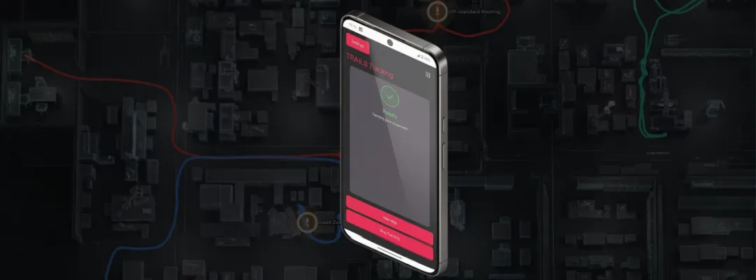
Indoor positioning where GPS can't reach, with just a smartphone
Building scale | Spatial AI
Records: where workers went, and in what order
- 1–3 m accuracy
- No infrastructure
- Patent granted (accelerated examination)
CEATEC AWARD 2026
Next Generation Award CEATEC AWARD 2026 Next Generation AwardAstra spatial AI camera unveiled
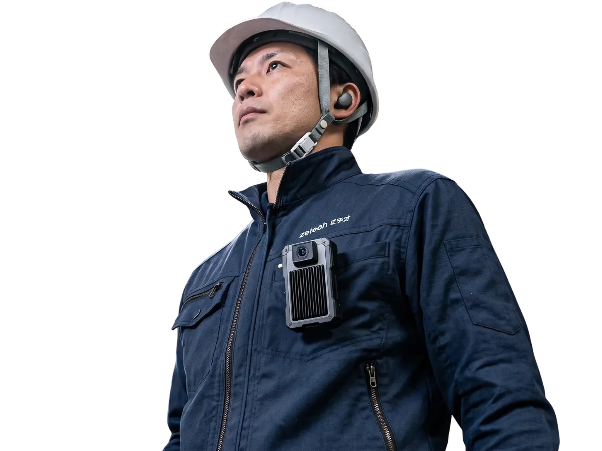
TRAILS captures where workers move. The Astra spatial AI camera captures what their hands do. Recorded as work video synced to location, expert know-how becomes data. No infrastructure to install.

1–3 m
Positioning accuracy (TRAILS and Astra)
No install
With no installation work needed, getting started takes far less time.











THE PROBLEM
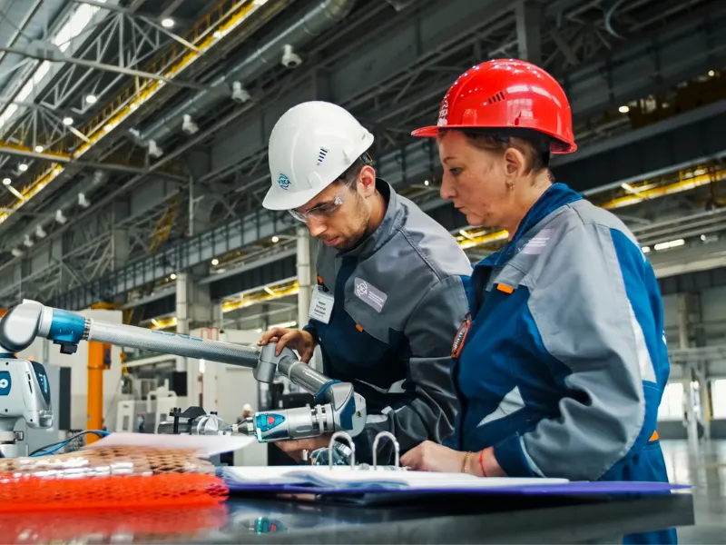
Inspection results get logged, but the process behind them does not. You can't see an expert's judgment, but it shows in how they move and what their hands do.
When experts retire, that experience leaves with them.
PRODUCTS
Into spaces GPS can't reach. TRAILS records where workers go; Astra records their hands-on work from their own point of view.
Indoor positioning where GPS can't reach, with just a smartphone
Building scale | Spatial AI
Records: where workers went, and in what order
Layer what happened on site over where it happened
Hand scale | Wearable spatial AI camera
Records: what workers handled, and how (synced to location)
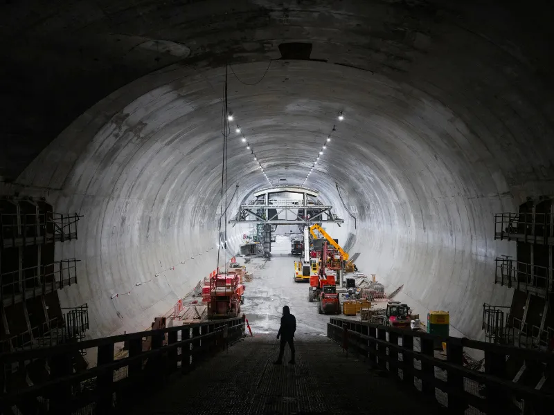
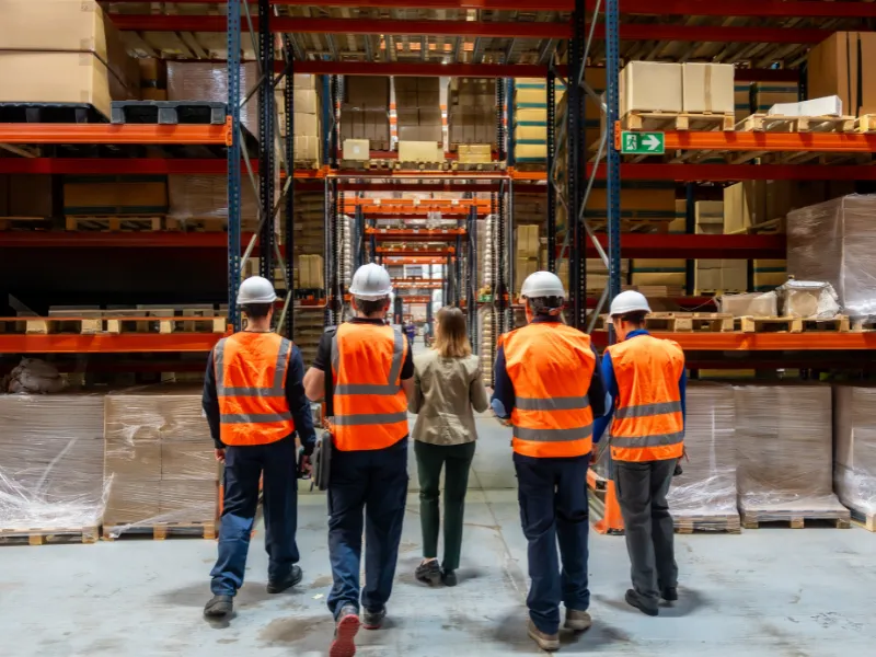
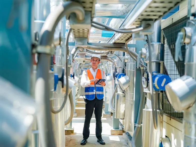
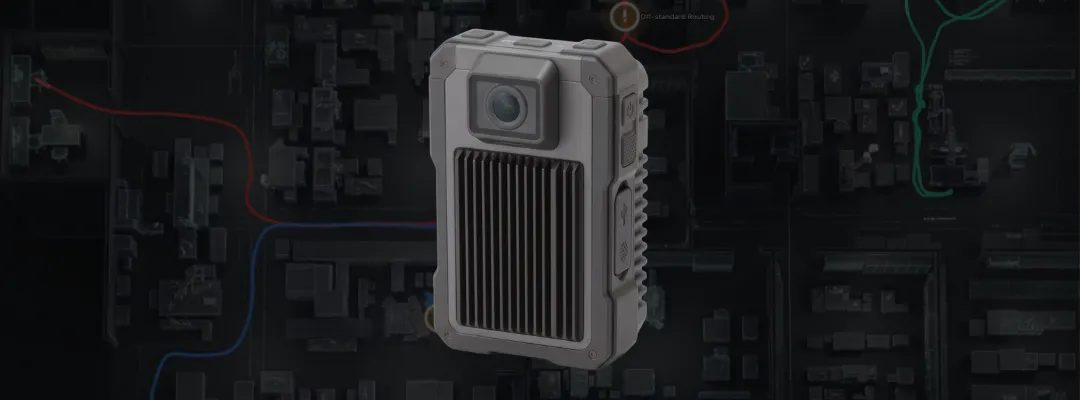
ASTRA SPATIAL AI CAMERA · PROTOTYPE UNVEILED
A trajectory only tells you where someone went. Record video alongside it with a wearable camera, and you keep what actually happened there.

Chest-mounted egocentric video captures hand movements and how each check is done, exactly as it happens.
Video is recorded in sync with positioning data. Replay where people were and what they were doing, alongside their routes on a digital twin.
Video annotation and 3D hand pose estimation structure expert work, for skills transfer today and robot training tomorrow.
Spatial AI × digital twins Our R&D uses Astra footage to understand sites in more depth.
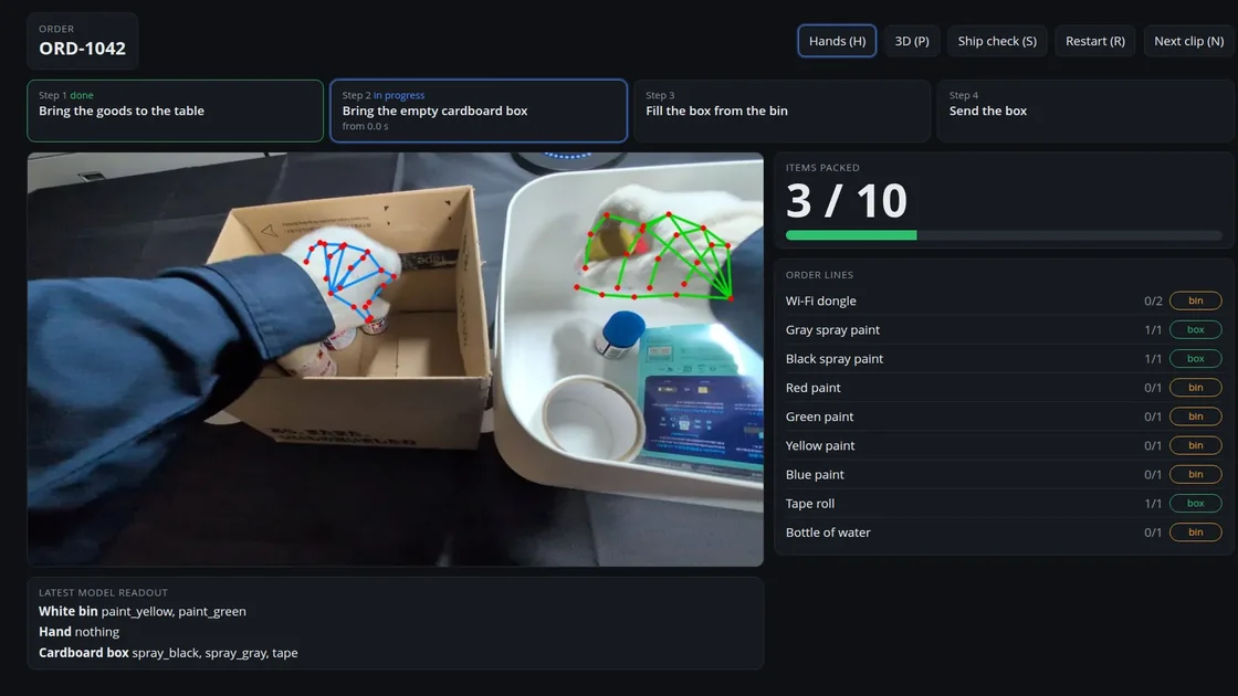
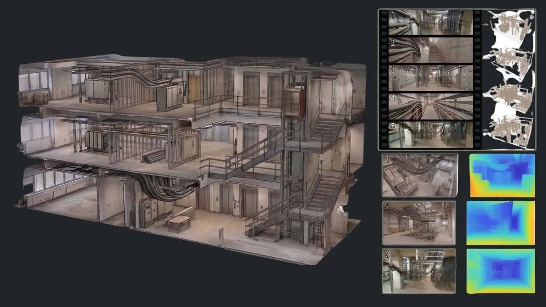
Images show a design-stage prototype. The final product may differ.
Contact us about the Astra PoC →WHAT YOU GET
Compare how veterans and newcomers differ, in both their routes and their hands-on work
See where real work departs from the written procedure
A record of who was where, doing what, that also helps locate people in an emergency
Access a clear, unfiltered view of your facility’s operations. Filter by team roles, date range, or specific work zones to download high-fidelity trajectory datasets. With spatial precision designed for optimizing operational safety and efficiency, you gain the clarity needed to improve the work environment using your existing analysis tools.
| Location records | Device ID | Duration | |
|---|---|---|---|
| Operator A — Assembly | GP8-0006 | 42h 15m | |
| Operator B — Production | SG10-0011 | 38h 30m | |
| Operator C — Logistics | ASG-0042 | 35h 45m |
Have your site's floor plans ready. For devices, choose either smartphones or the Astra spatial AI camera.
With no installation work needed, getting started takes far less time.
No expensive upfront investment. You can immediately visualize your team's movement and take the first step toward improvement.
TRACK RECORD
Central Japan Railway Company
Announced June 2026 → Read the news
Academic benchmark
Lowest ATE (2.69 m) against state-of-the-art inertial odometry methods (RoNIN, TLIO, MambaIO and others) under identical conditions
Intellectual property
Patent granted under Japan's Super Accelerated Examination
WHERE WE'RE HEADED
Unlike language models, robot foundation models can't learn from the internet. They have to learn from real work. zeteoh records worker location, routes and hands-on video in sync, providing the data capture layer for physical AI.
Routes and hands-on work, with no infrastructure to install
Annotation and 3D hand pose estimation turn tacit knowledge into data
Material robots and automation systems can learn from
The data captured on your site belongs to you.
PoC PARTNERS
Test the Astra spatial AI camera with us on your own site. We're looking for partners to build location-plus-video analysis together, combined with TRAILS.